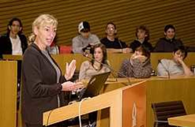
Photos from space have already helped reduce thedifferences between climate change models and will play a significantrole ahead of the next assessment, Dr. Diane Evans, director for earthscience and technology at NASA's Jet Propulsion Laboratory, saidMonday.
Evans lectured at Ben-Gurion University of the Negev in the morning and spoke to The Jerusalem Post by phone after her presentation.
A periodic assessment of climate change put out by theIntergovernmental Panel on Climate Change used satellites to chart therise of the seas and the reduction of the ice sheets at the poles,Evans told the Post.
"The IPCC came out with their 4th assessment in 2007. The thirdassessment didn't know if the ice sheets were gaining or losing mass.We now know that they have been losing mass," she said, to demonstratethe beneficial use of satellites in tracking environmental phenomena.
"The next assessment is supposed to come out in2013. Between now and then, satellite imaging will be used to assessthe truth of the models. The models will be checked against the directobservations of the satellites," she said.
Evans was here as part of an annual BGU event to remember Israeli astronaut Col. Ilan Ramon and the crew of the Columbiashuttle, which disintegrated upon reentry into the atmosphere onFebruary 1, 2003. She gave a lecture in Beersheba entitled "Eyes on theEarth: The Critical Role of Satellites in Understanding ourEnvironment."
"What we try to do is calm the debate by providing direct observations," she remarked to the Post.
According to Evans, the images have shown that the ice sheets atthe poles are melting abnormally fast, the seas are rising and theglaciers in Antarctica and Greenland are receding even faster than themodels predicted.
For Evans, the debate over whether the changes are man-made ornatural is "a little beside the point, because they are definitelyhappening and faster than was predicted."
Evans suggested that even if global warming was another phasein the earth's development, moving to a carbon-free sustainable economywas still an economically worthwhile goal, "since oil will eventuallyrun out."
NASA has been observing the Earth for the last 20 years and hasbeen looking into environmental applications "more and more." Inaddition to climate change, NASA satellites have been monitoringnatural disasters. Some of the systems can even be used to tracetension and buildup in the tectonic plates which cause earthquakes.
"The satellites can give an indication of potential magnitude,not timing. They also show the resulting changes in stress and tensionsalong fault lines in the area after an earthquake," she said.
Evans did not know whether any satellite could have offeredadvance warning of the earthquake that wracked Haiti on January 12.However, she said the research, though still in its infancy, mighteventually be useful in predicting aftershocks.
