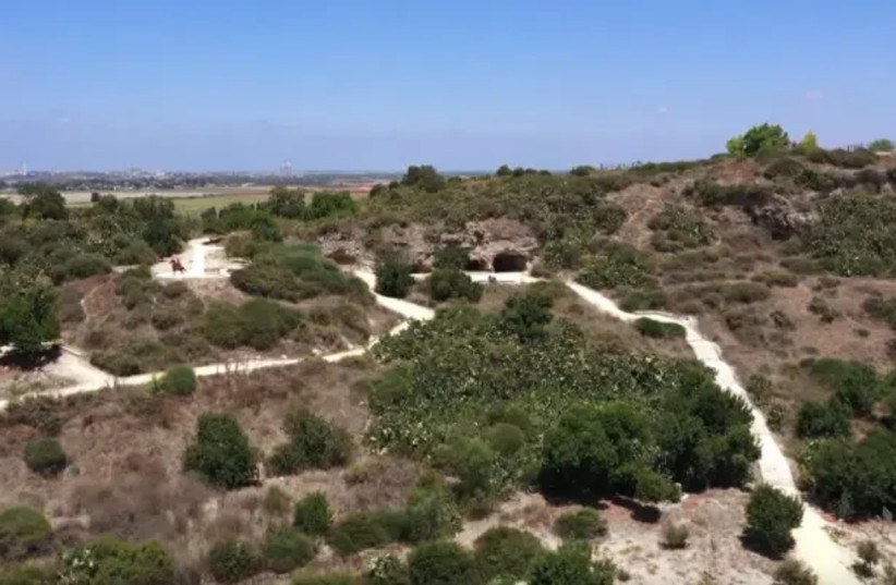
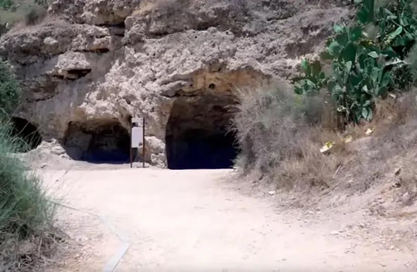
Throughout the country you can find countless hiking trails, each offering something different, but there are some unique places that offer a whole world. Such is the "Givaot Merar" National Park, located southwest of Beit Elazari (near Highway 40). The park offers a comprehensive experience that combines history, a visit to caves, beautiful hills, water pools and an important ecological corridor.
As part of a conservation, ecological restoration and development project, the site was made accessible to visitors through the Israel Land Authority, and entry is free.
On the site you can go on a route of easy difficulty that combines observation points, a picnic area, ancient caves, historical remains, seasonal blossoms, carob and almond trees and more. All these contribute to it being popular with families on the weekends.

In "Merr" (Arabic: Caves) we found the remains of the Cave Village from the Ottoman period and a settlement from other ancient periods, including burial caves and fragments of glosskamaot, typical of Jewish settlements during the Second Temple period. Along with this, the strategic location of the site positioned it as of military importance even during the last century as part of military battles in Israel during the 2nd World War. During this, a fierce battle was fought between the British and Ottoman army forces. At the end, the British forces reached Wadi Tsarar and took control on the central railway junction to the south of Israel, thus sealing the fate of the campaign in the south.
The site was developed and accessible and includes walking paths that surround the main hill, from which a spectacular view is reflected towards the southern coastal plain, observation points and seating and leisure areas. Staircases connecting the edge of the site - the parking and picnic area to the water hole, the caves and the upper aviary.
In the center of the peripheral path there is an observation point towards the place where the cavalry battle took place and in the center the statue of the horseman. From this point you can see the water pools of "Mekuros". Looking northwest you can see the cities of Rehovot and Yavneh on the horizon, and on days of good visibility the sea coast can also be seen on the horizon.
How to get there: in Waze "Bitter Hills".
