
Roughly 66 million years ago, at the end of the Cretaceous Period, the Chicxulub asteroid impact near the Yucatan peninsula wiped out nearly all the dinosaurs and roughly three-quarters of Earth’s plant and animal species in what is called the K-Pg (Cretaceous–Paleogene) mass extinction.
A new study led by researchers at the University of Michigan (U-M) suggests that the impact also triggered a global tsunami, which they calculated as being 30,000 times more energetic than tsunamis today. The study, published in the peer-reviewed scientific journal AGU Advances, presents the first global simulation of the Chicxulub asteroid impact tsunami.
The researchers modeled the first 10 minutes of the event with a crater impact model and used two different global tsunami models to see the following propagation throughout the world. The team reviewed the geological record at more than 100 sites. Through doing so, they found evidence supporting their predictions regarding the tsunami’s path and power. The geological record reviews focused on “boundary sections.” These are marine sediments deposited just before or after the impact and the succeeding K-Pg mass extinction.
"This tsunami was strong enough to disturb and erode sediments in ocean basins halfway around the globe, leaving either a gap in the sedimentary records or a jumble of older sediments," said lead author Molly Range. "The distribution of the erosion and hiatuses that we observed in the uppermost Cretaceous marine sediments are consistent with our model results, which gives us more confidence in the model predictions."
The team was able to collect usable information from 120 of 165 published records of marine boundary sections. The majority of the sediments came from cores that were collected during scientific ocean-drilling projects.
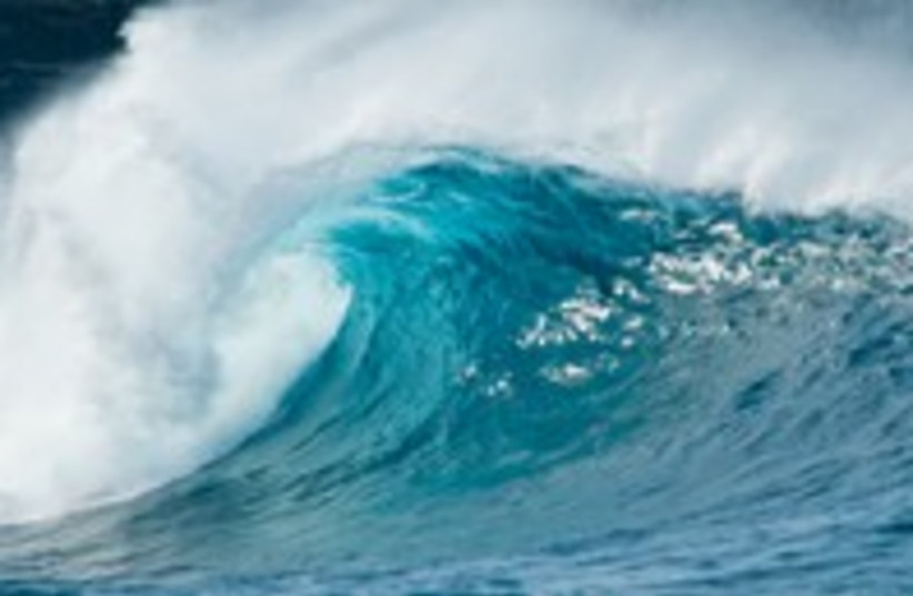
THE SIMULATIONS conducted by the team show that the tsunami radiated mainly towards the coastlines of the North Atlantic and South Pacific. In these basins and some adjacent areas, waves likely exceeded 10 meters high, and underwater current speeds likely exceeded a velocity of more than 20 centimeters per second, or 0.4 miles per hour. A velocity this strong can destroy fine-grained sediments on the seafloor.
“The tsunami was strong enough to scour the seafloor in these regions, thus removing the sedimentary records of conditions before and during this cataclysmic event in Earth history – and leaving either a gap in these records or a jumble of highly disturbed older sediments.”
Molly Range
On the other hand, according to the simulations, the North Pacific, South Atlantic, Indian Ocean and the modern-day Mediterranean were greatly protected from the strongest effects of the tsunami. In these regions, the modeled current speeds were most likely less than the threshold of 20 centimeters per second.
"We found corroboration in the geological record for the predicted areas of maximal impact in the open ocean," said Brian Arbic, professor of earth and environmental sciences at U-M who oversaw the project. "The geological evidence definitely strengthens the paper."
The team noted that the outcrops of the K-Pg boundary on the eastern shores of New Zealand’s north and south islands are of special significance. These shores are over 12,000 kilometers away from the impact site. Although the disturbed and incomplete New Zealand sediments were thought to be the result of local tectonic activity, the researchers suggest a different origin given the age of the deposits and their location in their model.
"We feel these deposits are recording the effects of the impact tsunami, and this is perhaps the most telling confirmation of the global significance of this event," Range said.
How did the modeling portion of the study work?
There were two stages to the modeling portion.
First, conducted by Brandom Johnson of Purdue University, a computer program called a hydrocode simulated the first 10 minutes of the event. This included the impact, crater formation and beginning of the tsunami. The asteroid, created based on findings of previous studies, was 14 kilometers in diameter and moved at 12 kilometers per second. According to the simulation, the tsunami began sweeping across the ocean in all directions after the 10 minute mark.
Second, the results from Johnson’s simulation were entered into two tsunami-propagation models, MOM6 and MOST, in order to track the tsunami as it made its way across the ocean.
"The big result here is that two global models with differing formulations gave almost identical results, and the geologic data on complete and incomplete sections are consistent with those results," said Prof. Emeritus of Earth and Environmental Sciences Theodore Moore. "The models and the verification data match nicely."