
The extended ruins of Amazonian settlements once home to a native agricultural society with a tendency for cosmology have been uncovered in the Bolivian jungle, hidden under what seemed to be a layer of impenetrable vegetation.
In the past, archaeologists assumed that the Bolivian Amazon was sparsely populated prior to the Spanish colonization of the area.
But, the 26 sites in the area are an example of how this region was home to settlements and ancient societies, even prior to the Spanish invasion and colonization of the area.
"Our results put to rest arguments that western Amazonia was sparsely populated in pre-Hispanic times," archaeologist Heiko Prumers of the German Archaeological Institute wrote in a peer-reviewed study, published in the Nature journal.
Using laser scanners mounted to helicopters the team of archaeologists managed to scan six areas in the heartland of the Casarabe culture (ancient Bolivian culture) that developed between AD 500 and 1400 in what is now northern Bolivia.
The vast network of settlements they found under the dense forest canopy represents a type of low-density urban area, the first of its kind found in the tropical area of South America.
Some of the structures uncovered in the settlements were elaborate ceremonial constructions including stepped platforms and U-shaped mounds, all pointing north-northwest. "This probably reflects a cosmological world view, which is also present in the orientation of extended burials of the Casarabe culture," according to the study.
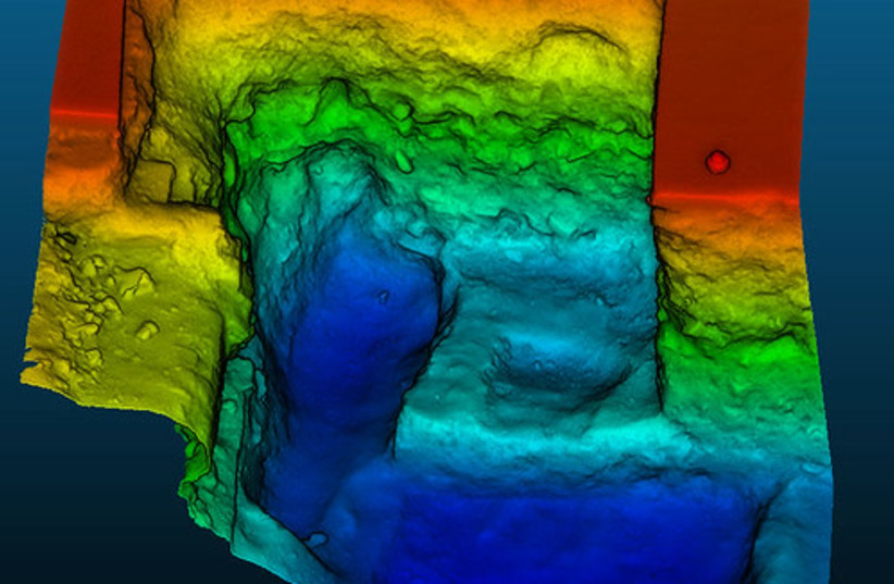
Using LIDAR to uncover what lies beneath
Adding to that story now is LIDAR, the remote-sensing method that scans the Earth's surface using airborne laser beams, accomplishing "in a single flight what would previously have taken years of grueling fieldwork," explains archaeologist Christopher Fisher of Colorado State University.
LIDAR (light detection and ranging) documented in detail the two large settlement sites and 24 smaller sites, of which only 15 were previously known to archaeologists.
The archaeologists found that both large sites are surrounded by three concentric defensive structures.
The study describes the two large settlements, Cotoca and Landívar, as being central hubs of a regional network of smaller sites — 24 in total — connected by still-visible causeways that fan out into the landscape for several kilometers.
They estimate the Casarabe people moved some 570,000 cubic meters of earth to construct Cotoca, ten times as much dirt as what was moved to build the largest structure found thus far in the Bolivian highlands, the Akapana pyramid.
"Acceptance of the new orthodoxy for the Maya was a decades-long 'slow-burn', but because of LIDAR it will be more like an explosion for Amazonia," Fisher adds.
Only so much can be gleaned from the air, however, so if the sites are accessible, ancient artifacts could yet be found, which might fill in more details about the diets, lifestyle, and cultural practices of these societies.