
Using drone-mounted LiDAR equipment, researchers have mapped out archaeological features left behind from the infamous World War II battle, the Battle of the Bulge.
The findings of the research were published in the peer-reviewed academic journal, Antiquity. The research was published online on Tuesday by the Cambridge University Press.
“Although conflict archaeology is now well established, the archaeological remains of many specific military confrontations are still to be explored,” write the authors of the study.
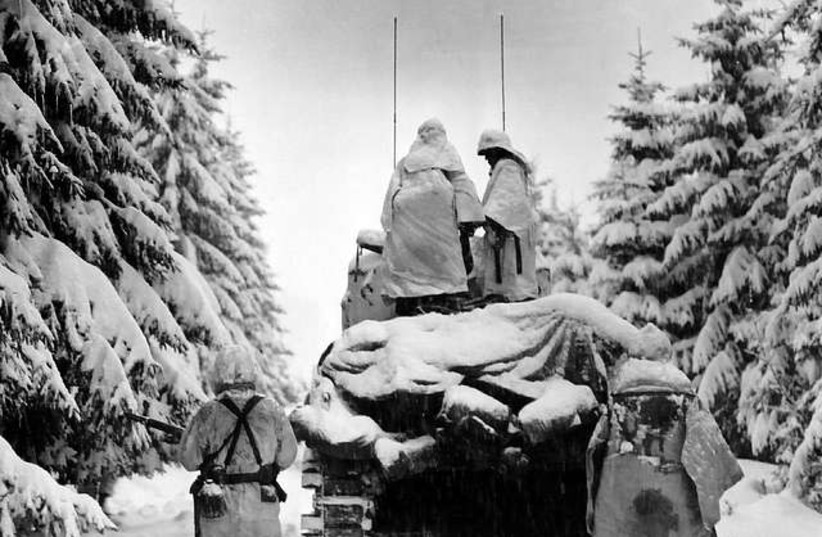
In this case, the researchers sought to close the academic gap in field research pertaining to the Battle of the Bulge, a second world war battle fought from December 16, 1944, to January 25, 1945.
One of the challenges in doing this, however, is that this particular battle occured in the Ardennes region, a heavily forested eastern area of Belgium, making traditional aerial mapping techniques ineffective.
Using drone-mounted LiDar equipment, however, the researchers revealed striking new archaeological details of the area they investigated.
What is LiDAR?
LiDAR stands for Light Detection and Ranging. It is a method that uses lasers to render imaging of environments and was able to effectively penetrate the forest cover.
Additionally, the researchers juxtaposed this imaging with “very high-resolution simultaneous localization and mapping (SLAM) methods to reveal more than 940 features within the forested Ardennes landscape.”
The lead author of the study, Birger Stichelbaut, noted in an Antiquity article published on Phys.org that this combination of imaging methods “allowed for traces of the battle to be observed on a scale not known until now."
Indeed, the results were striking. Over the approximately 11 acres of area, the study investigated, the imaging highlighted, as the researchers note in the study, “a rich archaeological landscape associated with US Army defensive lines and both ground combat and aerial bombing in late 1944 and early 1945 in the central sector of the Ardennes Offensive.”
Among the plethora of archaeological features revealed, the study mapped a series of artillery battery emplacements, dugouts, both with and without dedicated entrances, foxholes, trenches, and a bomb crater.
The Battle of the Bulge was the final major German offensive of World War Two. At the conclusion of a month of bitter fighting, the Americans and the British, and the Germans had both suffered many tens of thousands of casualties including thousands killed.