
The IDF published a map splitting the Gaza Strip into small alert zones which it will use to provide safety instructions to Palestinian civilians in the Strip on Friday as part of continued efforts to protect non-combatants used by Hamas as human shields.
"The terrorist organization Hamas uses the residents of the Gaza Strip as a human shield, placing headquarters and military infrastructure in residential areas, hospitals, mosques, and schools, and turning civilian sites into military targets by using civilians and civilian facilities as human shields," said the IDF.
"Since the beginning of the war, the IDF has taken various measures to avoid harming civilian lives. Among other things, the IDF sends messages and leaflets to the residents of Gaza instructing them to evacuate specific areas that are a target for terrorist activity, and directs them to evacuate in relevant directions."
The new, interactive map divides Gaza into numbered sections based on recognizable neighborhoods to allow the IDF to issue more specific instructions to civilians, including evacuation orders, if required, from only specific places instead of from broader areas.
The map was published on a special page in Arabic and accompanied by a special video by the IDF spokesperson for Arabic media, Avichay Adraee. A QR code leading to the site was also provided on leaflets dropped in Gaza on Friday.
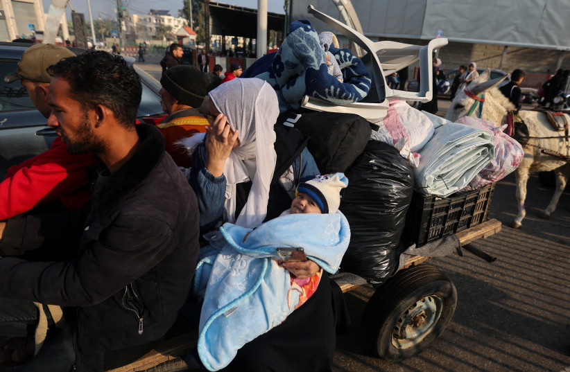
The publication of the map came shortly after the ceasefire between Israel and Hamas ended on Friday morning, as Hamas fired rockets into southern Israel and the IDF responded by resuming airstrikes in Gaza.
According to Palestinian reports, the IDF dropped leaflets over southern Gaza on Friday warning residents of several neighborhoods in Khan Yunis to evacuate to shelter areas in Rafah, warning "the city of Khan Yunis is a dangerous combat zone."
'The residents of the Gaza Strip are not our enemy'
"The IDF works strongly against the terrorist organizations and makes great efforts to distinguish between the civilians and the terrorists. The residents of the Gaza Strip are not our enemy," said Adraee in the video. "Because of this, the IDF conducts a controlled and precise evacuation of the Gazan population with the aim of removing them as much as possible from the war zone."
"Residents of Gaza! Obeying the evacuation instructions is the safest way to protect your safety, your life, and the lives of your families," added Adraee. "I urge you to look deeper into the map, identify your area of residence, the numbers of the relevant areas, and evacuate your area of residence in accordance with the instructions if you receive an official directive from the IDF to do so."